Contour 2.61 – Precise, accurate image-based seed planning
Today’s update to Contour introduces a new image-based seed planning process that increases plan precision and accuracy, especially for plans that use bulk adjustments or have lots of polygons. The improved process keeps the same quick and simple plan-building interface that users are familiar with, but uses brand new logic to drive calculations.
Here’s what’s new:
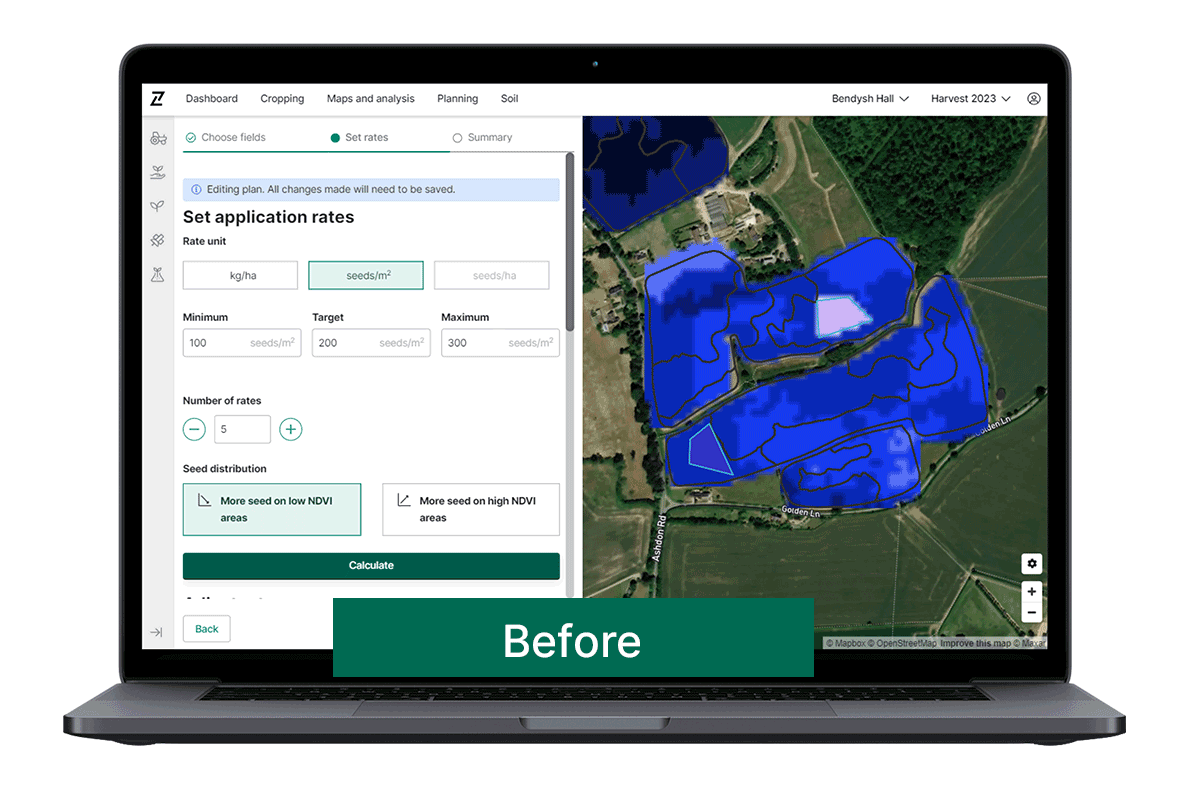
- Image-based seed plans are now accessed from the new Seed Homepage, where new plans can be built using NDVI, GCVI, and Soil Scan images. For reporting purposes, old plans can still be accessed from the IBP tab.
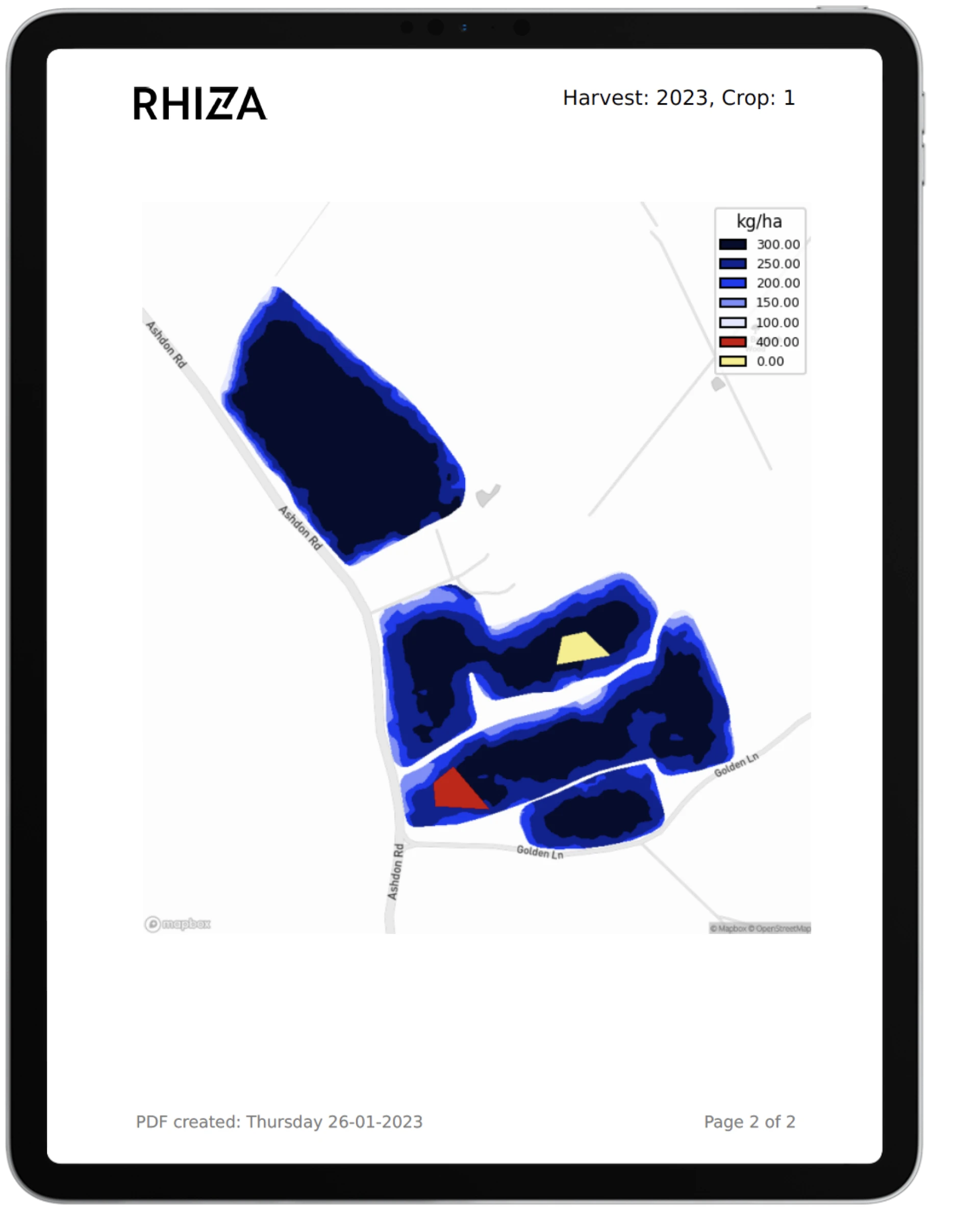
- Higher resolution seed maps allow users to zoom in without pixelation, and ensure that geometries line up precisely with field boundaries, avoiding a sawtooth effect.
- Multiple improvements have been made to polygons, which now:
- Automatically snap to field boundaries when drawing
- Have a minimum size limit to avoid ‘phantom polygons’
- Have their own separate legend and colours on the map, making them much easier to view, and ensuring they don’t blur seed rates, especially when there is a 0 rate applied
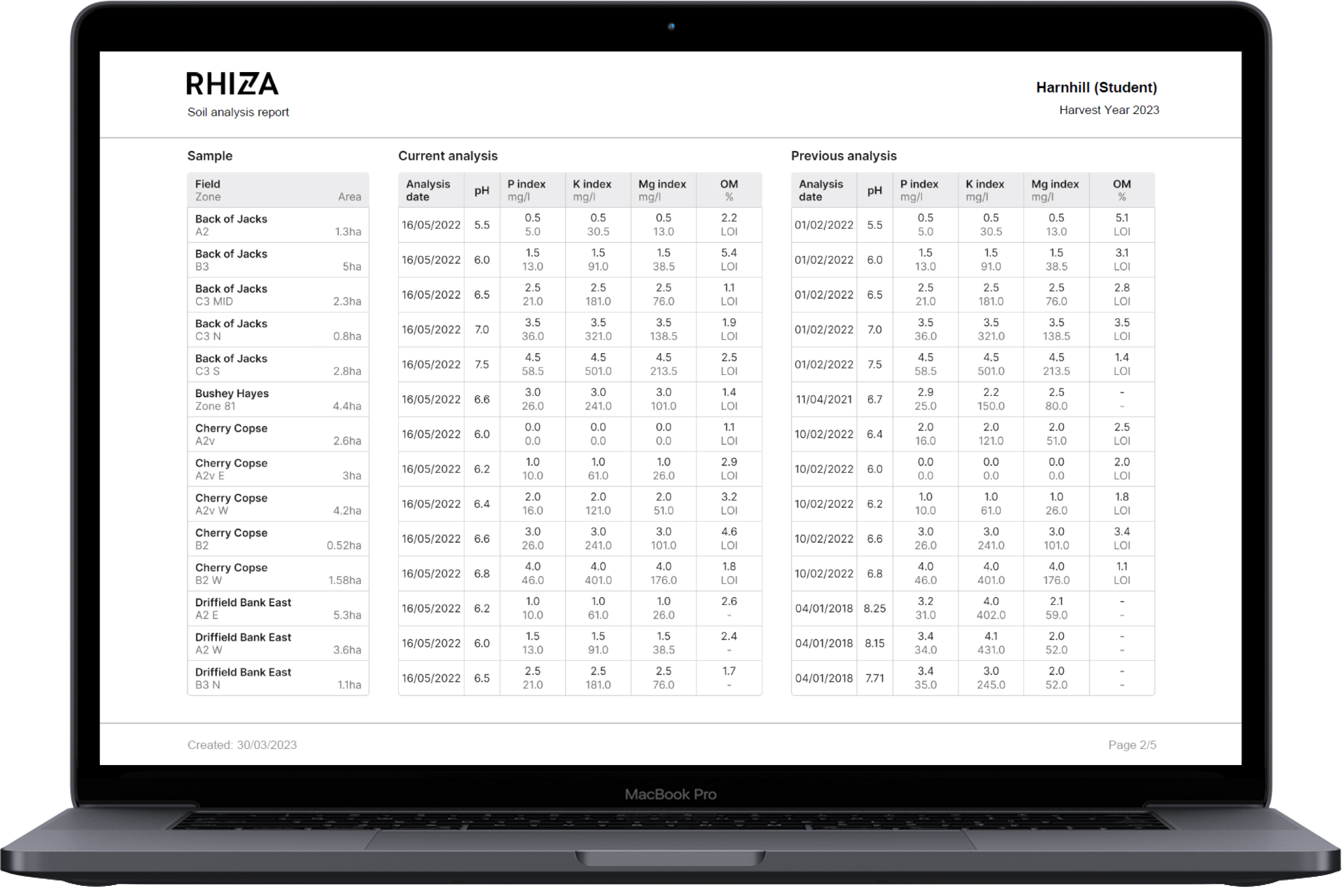
- PDF reports are now fully consistent with the product totals shown when building a plan, as the same logic, rounding, and conversions are now used for both. Reports also now show the improved seed map view and polygons.
Log in to Contour to check out the updates today, and please send your feedback to info@digital.originenterprises.com to help us improve.
Coming soon to Contour…
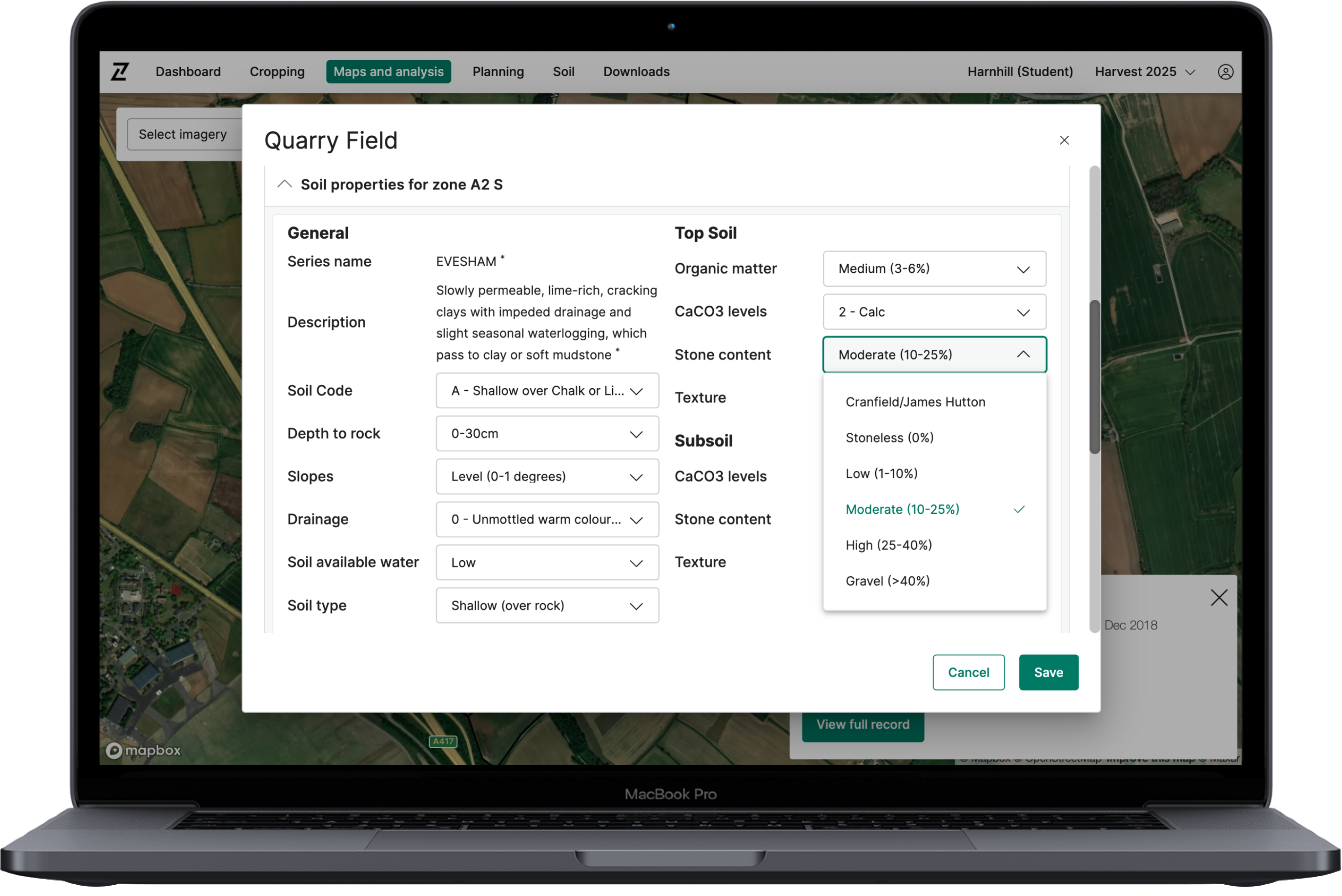
- Variable rate seed plans based on soil data for each zone
- Custom rulesets based on clay, soil code, stone content and topsoil texture number