Analyse deeper. Plan better. Perform stronger. Welcome to Yield Maps in Contour 2.4.
Get ready for deeper analysis with today’s release of yield map functionality in Contour 2.4. We’ve packed this update with a host of features that enable you to:
- See and understand more of what has happened in each field and the reasons for crop variation
- Use this greater insight to produce better plans
- Verify that these plans ultimately lead to stronger performance
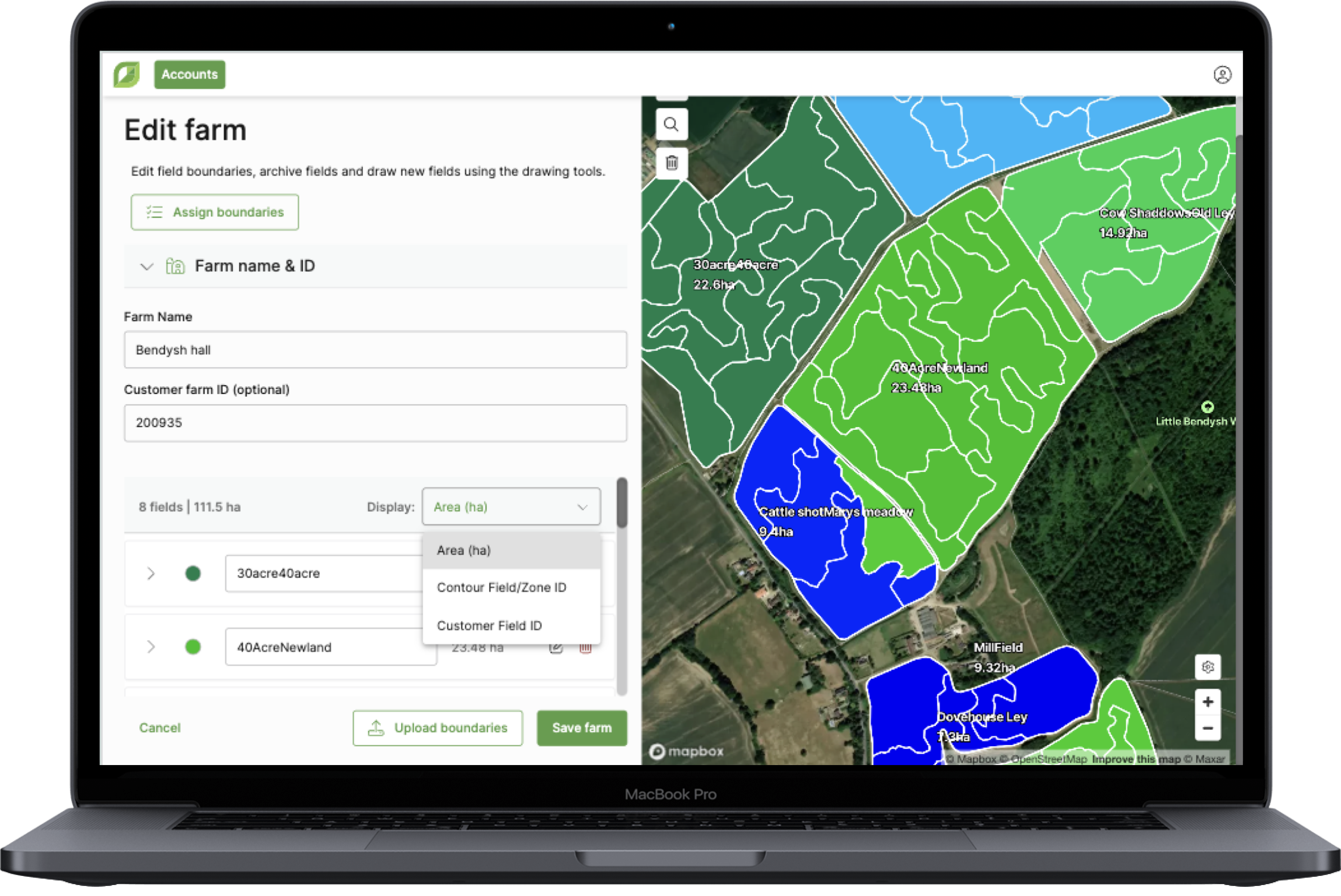
Yield maps can now be uploaded into Contour via machine USB in a simple process that supports multiple manufacturer file types, allows bulk file upload, and operates in the background while you continue working. The upload process is designed to be as time-saving as possible, using GPS data from the harvest machinery to automatically determine field and harvest year for each yield map (these can also be manually updated), and preventing duplicates by only uploading new files.
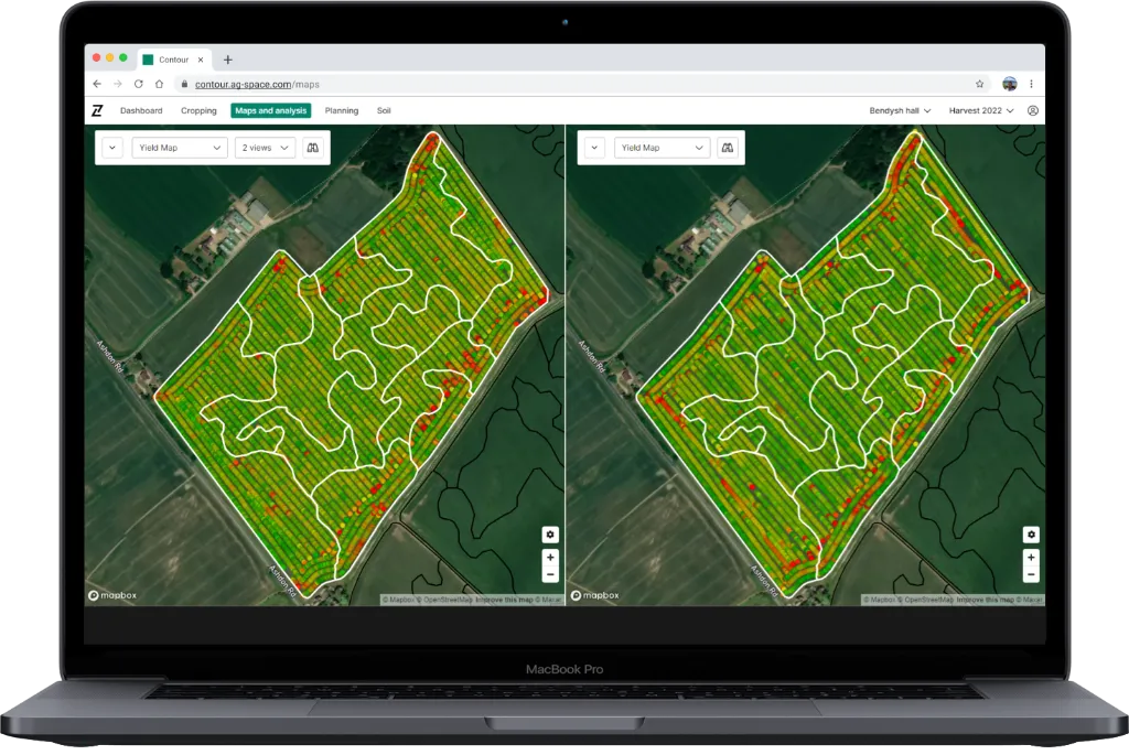
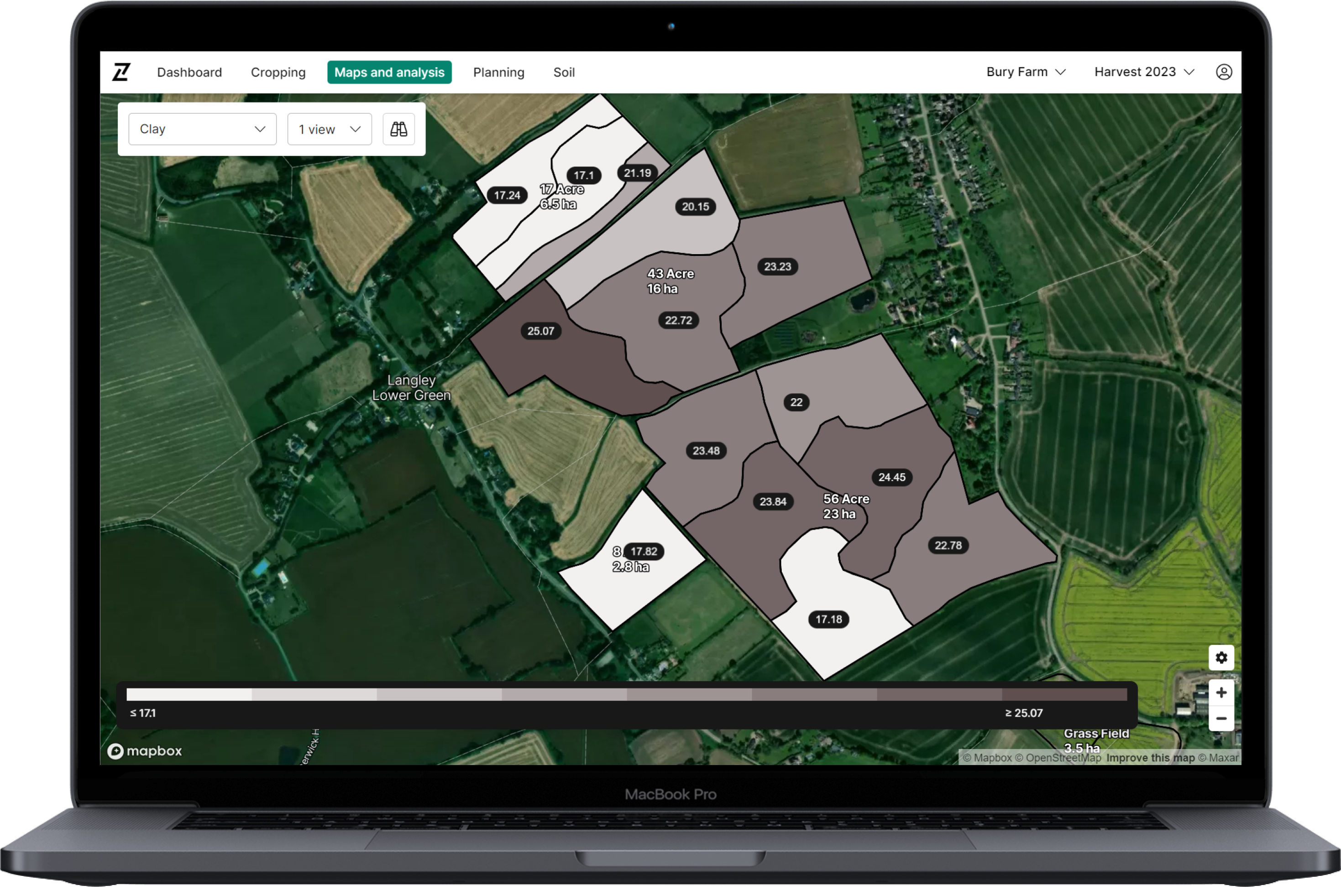
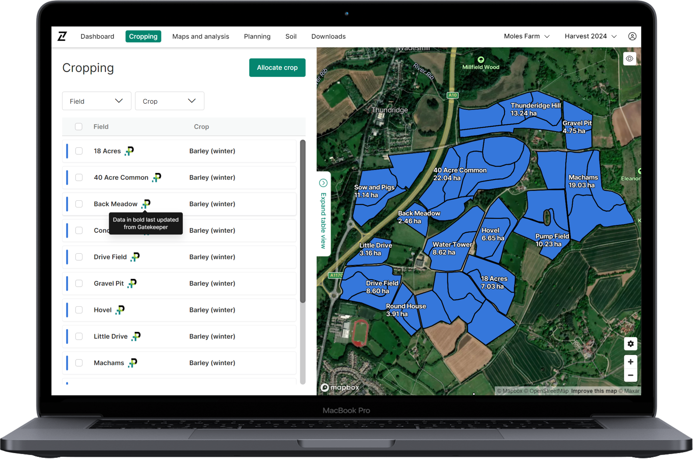
Once uploaded, a range of features allows easy viewing & interpretation in ‘Maps & Analysis’:
- Filter uploaded yield maps by year, crop, and field
- Select one or multiple fields to view through map or side menu
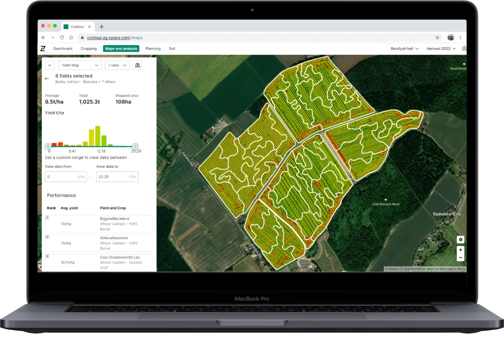
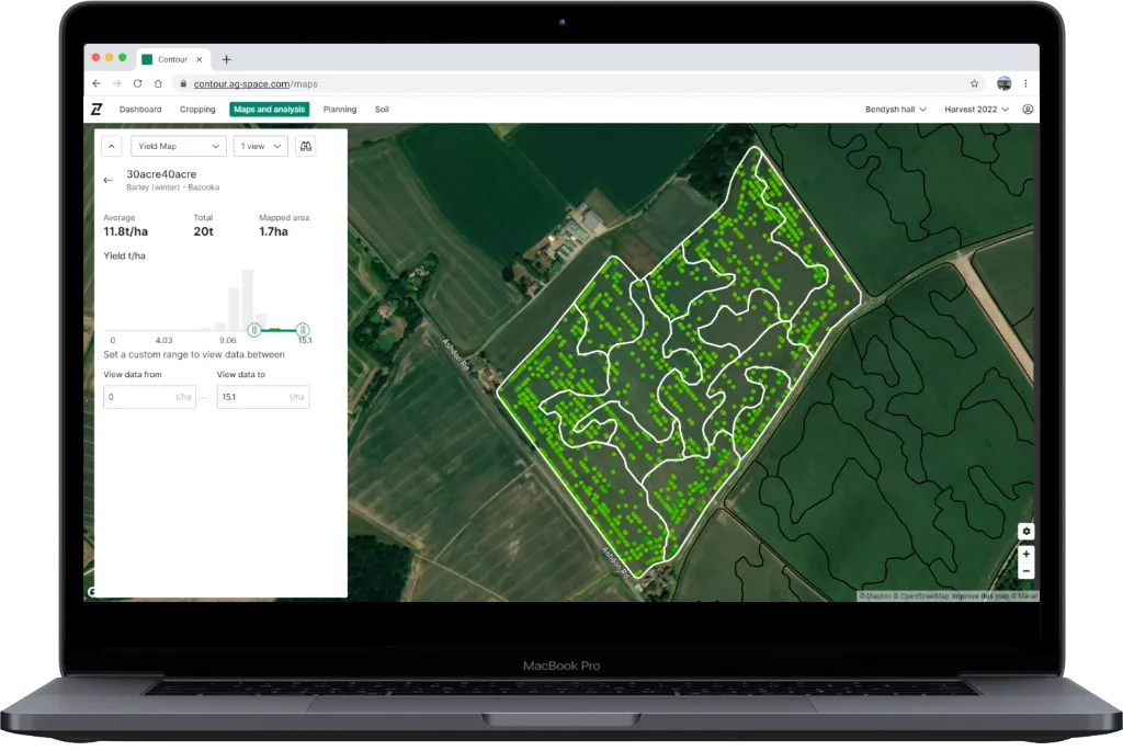
- Visualise overall yield breakdown across selection using new interactive histogram
- View yield distribution within & across fields to easily highlight high & low yielding areas
- View summary of selected field(s) – Average T/ha, Total T and Area
- Compare multiple maps to spot trends, e.g. yield this year vs last year
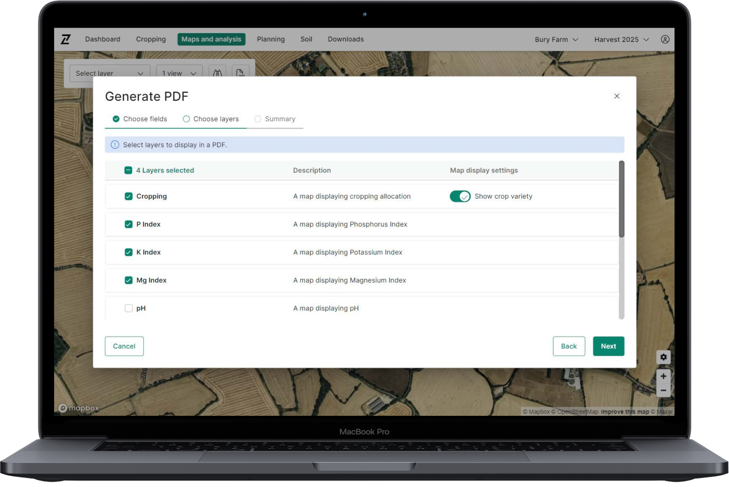
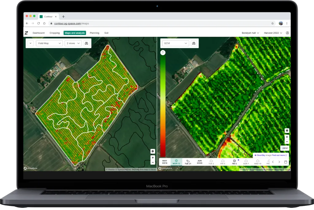
- Compare yields with other imagery or soil analysis to evaluate and understand performance
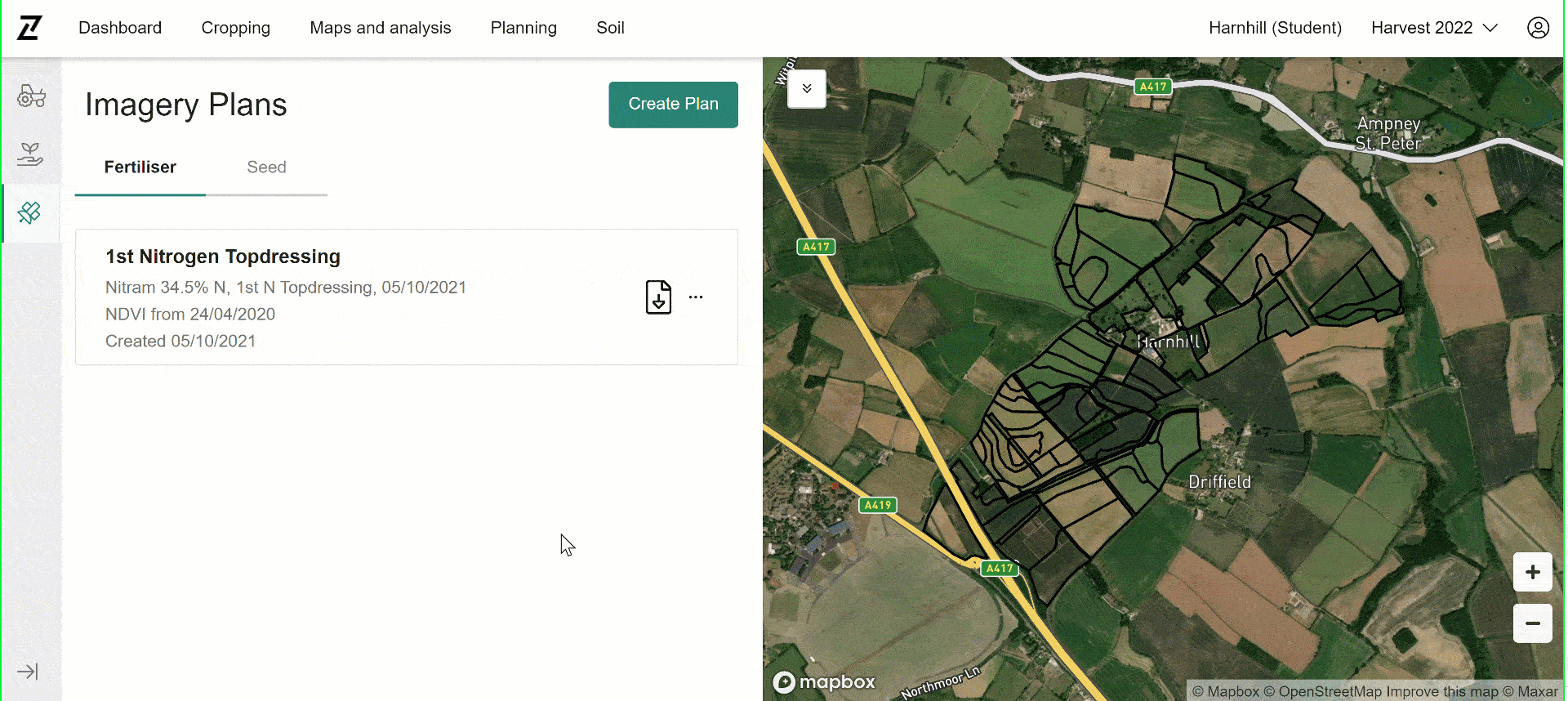
- Yield data populates in cropping for easy comparison of targets with actual results
Log in to Contour and start gaining deeper insights today!
Yield Map Upload supported file types:
- AGCO AccuTerminal
- Fendt VarioTerminal
- Generic ISOXML Type 1
- Generic ISOXML Type 2
- Muller ISOXML
- John Deere GS2/GS3 Rx
- Trimble FMX
- Case Pro700 ISOXML
- And more – see our Contour Yield Maps User Guide for the complete list