
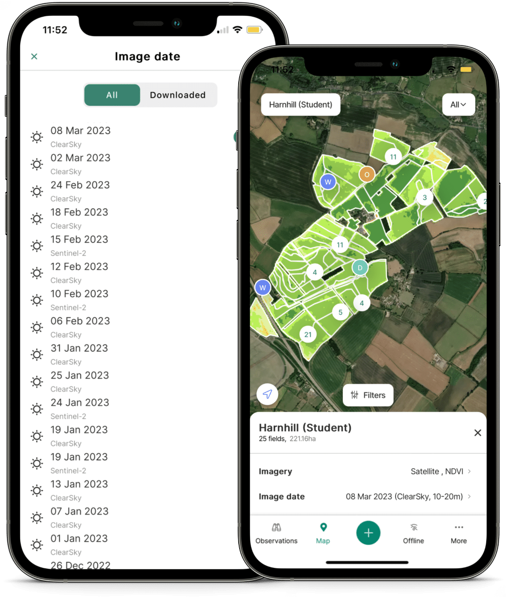
ClearSky
A Guaranteed Clear Image Every Week
Experience Next-Gen ClearSky Satellite Imagery
Guaranteed imagery every 6 days, all year round
Based on ground-breaking techniques developed by leading astrophysicists
First AI derived imagery product of its kind on the market
No loss of accuracy over time when there are long periods without clear optical images
Exclusively available through Contour
Overcoming the Cloud Coverage Challenge
With an average of 67% of Earth under cloud cover at any given time, obtaining clear, regular satellite imagery has been a persistent problem in agriculture, severely limiting the value of optical imagery for scouting and planning since visibility on crop development is lost during gaps in coverage.
ClearSky's innovative solution uses AI to derive full-spectrum optical and infrared imagery, including NDVI & GCVI, from radar (SAR) data alone.
Since SAR data penetrates clouds, ClearSky guarantees regular, reliable imagery every 6 days, all year round.
And unlike other cloud-free solutions, because ClearSky doesn’t need any optical imagery for recalibration, it doesn’t lose accuracy over time when there are long periods without clear optical images.
How ClearSky Works
A Synthetic Aperture Radar (SAR) equipped satellite captures radio- and microwaves reflecting off Earth’s surface, passing through clouds and haze.
The reflected data is synthesised into a high-resolution reconstruction of the ground.
ClearSky’s deep neural network translates the SAR reconstruction into traditional NDVI and GCVI imagery, easily interpretable and relevant for agricultural use.
The end result shows the optical image a satellite would see if there were no clouds blocking its view.
Rigorous Testing and Evaluation for Proven Results
ClearSky has undergone extensive testing and evaluation, and continues to be further refined:
99% accuracy in comparison with Sentinel-2 NDVI imagery (as calculated from the average of [ClearSky NDVI prediction/Sentinel-2 NDVI] over approximately 250 million pixels)
Over 7 million field-level ClearSky images delivered to date
Collaboration between agronomists, researchers, precision specialists, and farmers to refine ClearSky models
Continuous model retraining to improve quality
Transform Your Agricultural Business with ClearSky
ClearSky's reliable weekly imagery offers numerous benefits:
Guaranteed weekly NDVI and GCVI imagery enables consistent monitoring of crop health, variation, and performance
Target field assessments to areas that need attention and reduce time spent on unnecessary inspections, whatever the weather
Create and adapt crop management plans in a timely manner with recent clear imagery always available
Optimise input management using up-to-date information to make informed decisions
Case Study: Optimising Variable Rate Nitrogen with ClearSky
In the face of unprecedented nitrogen pricing, ClearSky helps farmers and advisors:
Determine crop needs using clear imagery despite adverse weather
Target inputs to crop variation
Reduce carbon footprint (avg. 25% reduction in application volumes)
Increase nitrogen use efficiency by 5-10% on average
Optimise gross margin
Discover the Power of ClearSky
Embrace the future of precision agriculture with ClearSky’s guaranteed clear imagery and enhance your decision-making processes. Contact us to learn more about how ClearSky can help you.
