Contour 2.71 – Efficient, Reliable EC Scan Processing
The second part of this week’s update to Contour delivers improvements to EC scanning through a more efficient process that reduces manual intervention, streamlines zoning and sampling, and quickly delivers scans into Contour for viewing in Maps & Analysis and for use in variable rate plans.
Here’s how:
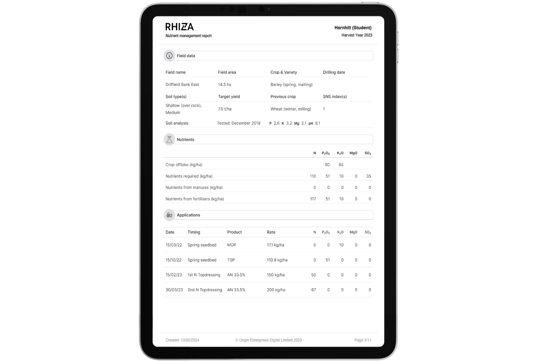
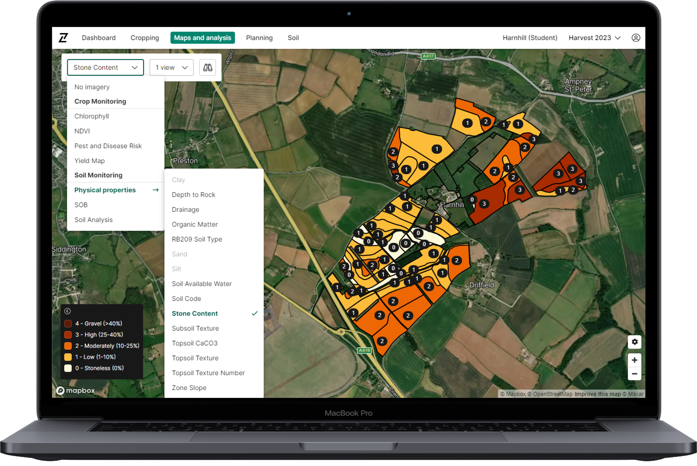
- Contour’s integration to accept new Patchwork soil scan data now enables admin users to automatically process soil scans, create management zones, and create sampling jobs in one tool, resulting in quicker turnaround times for fieldwork and increased capacity.
- Improvements to the Contour process for validating and displaying soil scans allow the data to be viewed immediately in both Planning and Maps & Analysis.
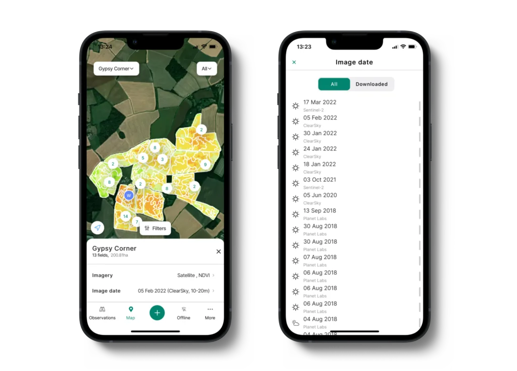
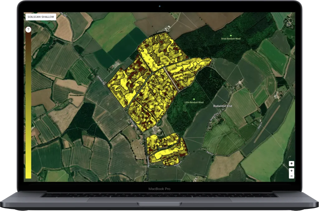
- New and legacy scan imagery is combined and displayed as a single image, ensuring that the user is always seeing the most up to date and complete scan data.
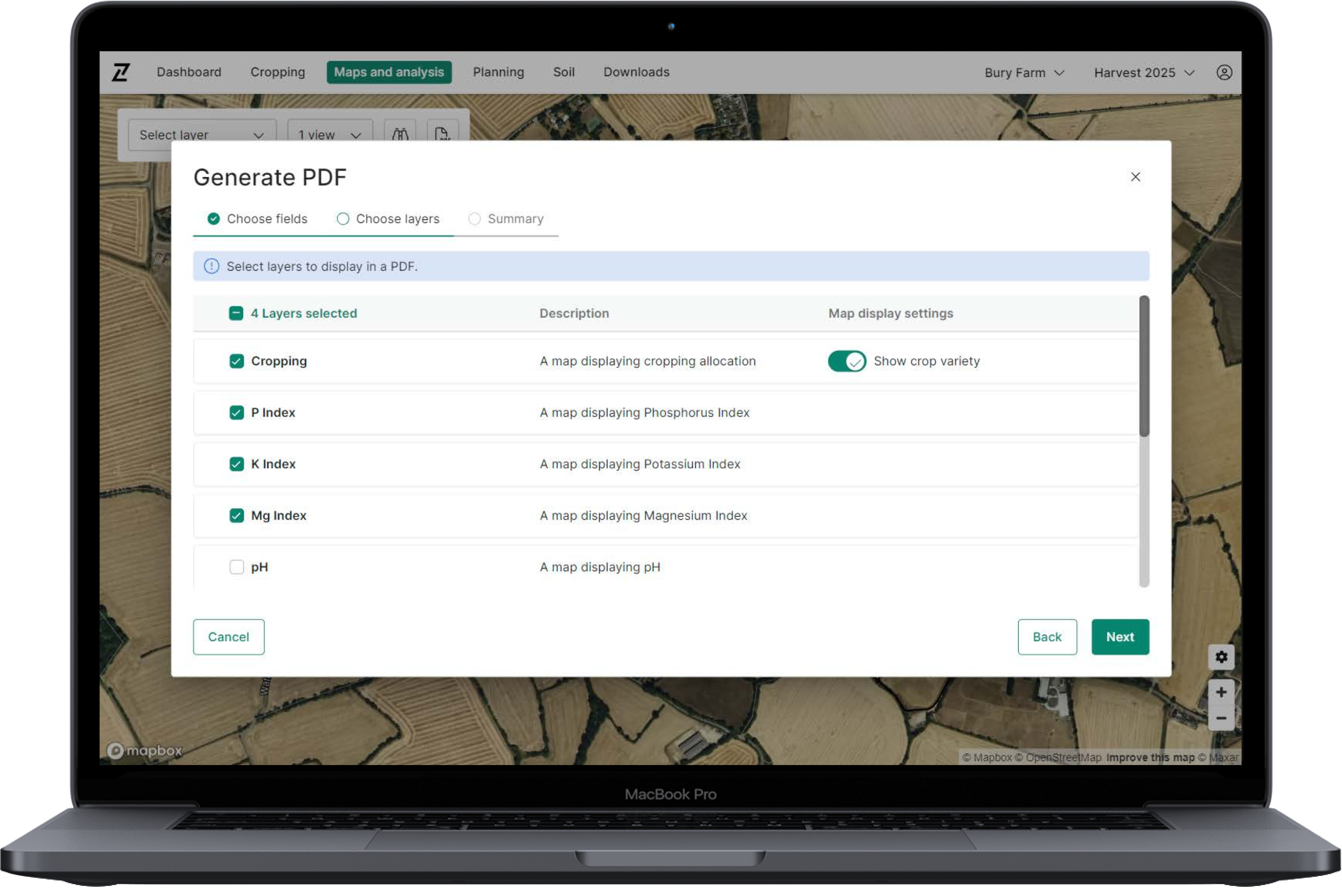
- Variable rate seed plans can be created as soon as the new soil scan data is available in Contour.
Log in to Contour to check out the updates today, and please send your feedback to info@digital.originenterprises.com to help us improve.