Similar Posts
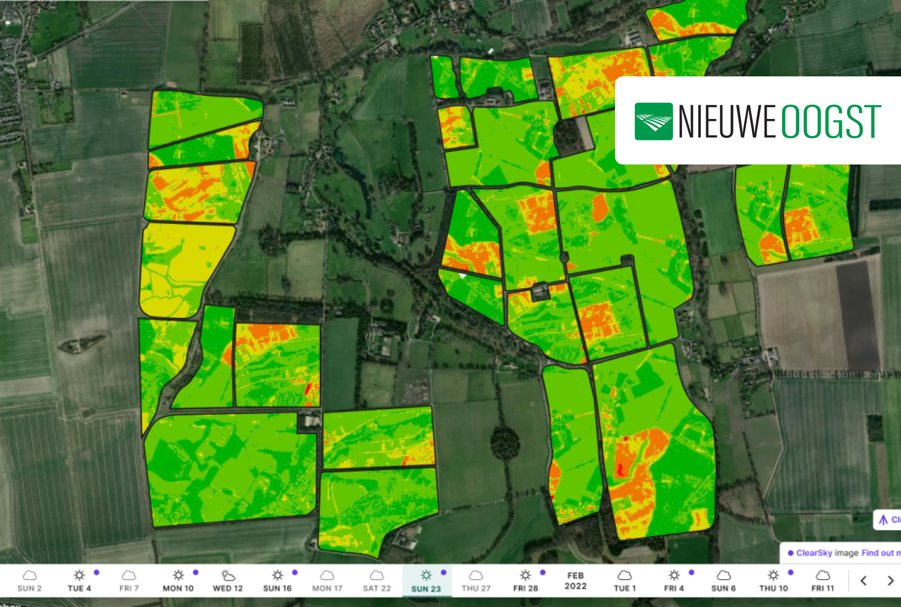
Britse technologie zet satellieten in voor precisielandbouw
De Britse technologiebedrijven Origin Digital en Aspia Space hebben maandag aangekondigd dat het mogelijk is om satellietbeelden te gebruiken in…
Origin Digital, Aspia Space Partnership Enabling Farmers To Measure Vegetation From Space
A partnership between Origin Digital and Aspia Space has officially revealed a world-first technology breakthrough that enables farmers, ranchers, and…
Satellite imaging and AI could merge to aid UK farmers
A new service set for launch in the UK that could revolutionise the way satellite imaging is used in agriculture…
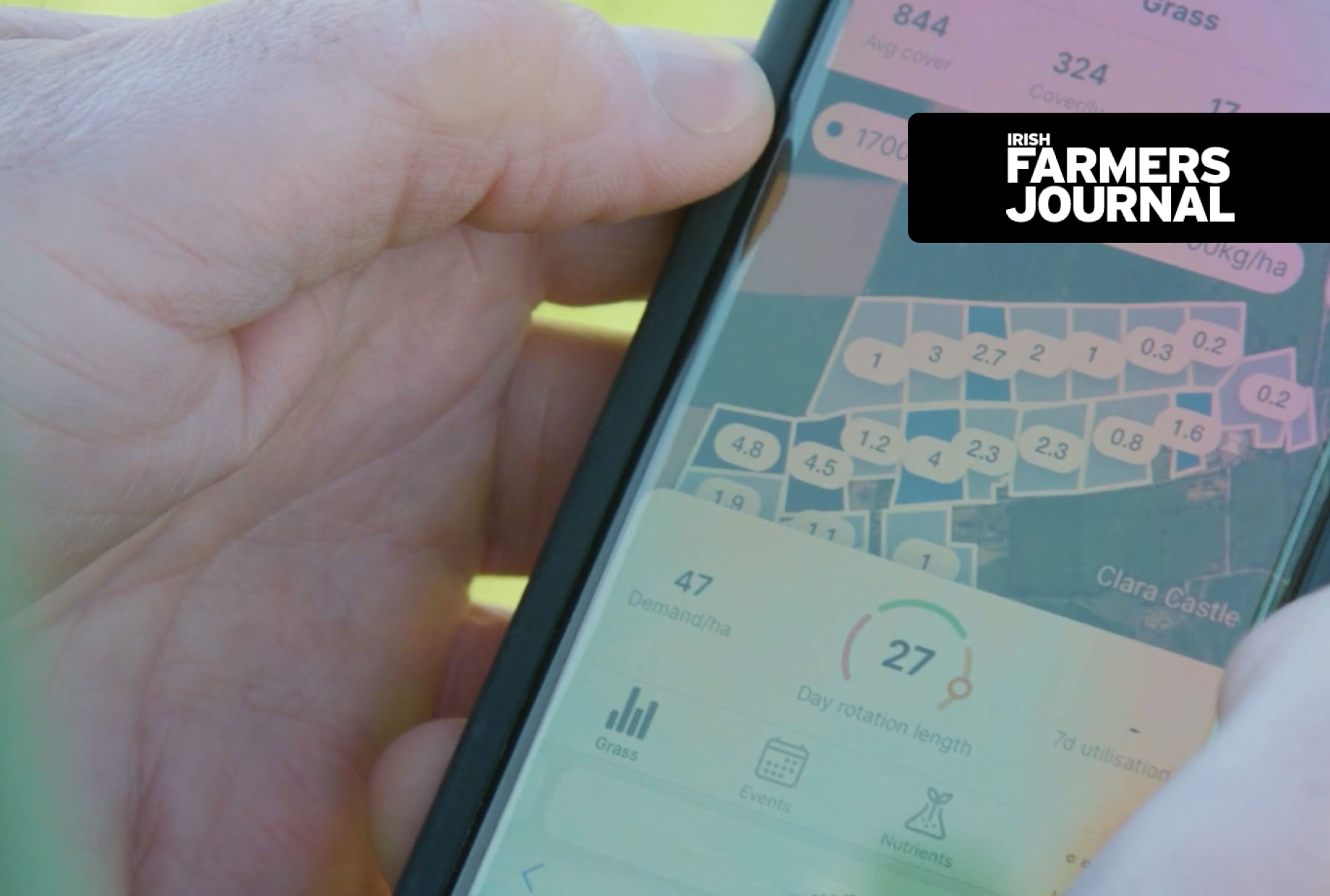
Measuring grass from space could save farmers €1,600 per year
With the new technology, someone could be standing in a field in Amsterdam and accurately measure the height of the…
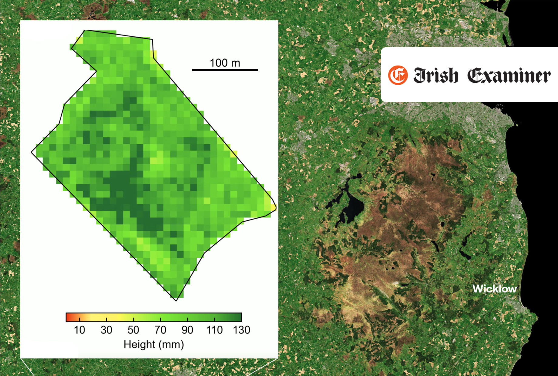
Satellite tech to measure grass from space
A ‘world-first’ technology breakthrough will allow Irish farmers to use satellites to measure grass growth… Share via: Facebook Twitter LinkedIn…
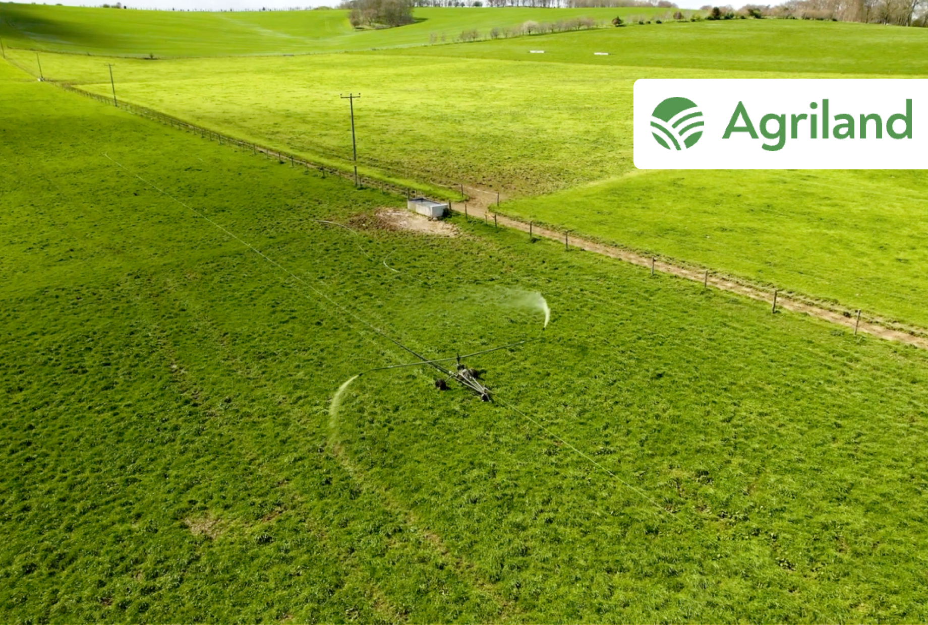
Breakthrough means measuring grass from space
A world-first technology breakthrough that could revolutionise grassland farming and grass measuring has today been announced by technology companies Origin…

